The short answer
The best hike in Bali for most visitors is the sunrise climb of Mount Batur: about two hours up, moderate effort, and a view across a volcanic caldera at dawn. The hardest and most rewarding is Mount Agung, Bali's highest and holiest mountain at 3,142 meters. For an easy walk with no guide and no fee, the Campuhan Ridge in Ubud is the classic. Beyond those three, Bali has real forest trails in the north around Munduk and the twin lakes, quiet volcano summits like Mount Abang and Mount Batukaru, rice field walks in Sidemen and guided treks in West Bali National Park.
The dry season, roughly April to October, is the time to hike. In the wet season, trails get slippery, summits are often clouded in, and some routes close for ceremonies or bad weather. Below, the hikes are grouped by difficulty.
Easy: walks almost anyone can do
Campuhan Ridge, Ubud. A paved path along a grassy ridge between two river valleys, starting near the Warwick Ibah hotel on Jalan Raya Ubud. The natural section is about 1.2 kilometers and the full walk to Karsa Kafe roughly 2 kilometers one way. It is free, takes 20 to 30 minutes each way at an easy pace, and is best just after sunrise, before the heat and the crowds. You can continue through the village of Bangkiang Sidem to make a longer loop through rice fields.
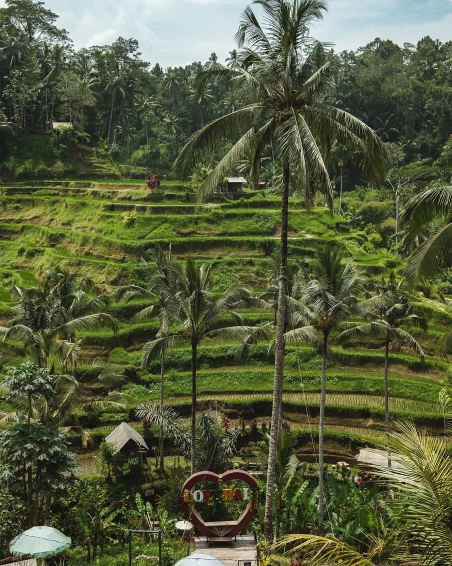
Sidemen rice field walks. In the Sidemen valley in east Bali, local guides lead two- to three-hour walks along the irrigation channels and paddy walls, past weaving workshops and small temples, with Mount Agung rising over the valley. It is gentle, rarely crowded and far more rural than Ubud. Ask your guesthouse to arrange a village guide.
Moderate: half-day hikes
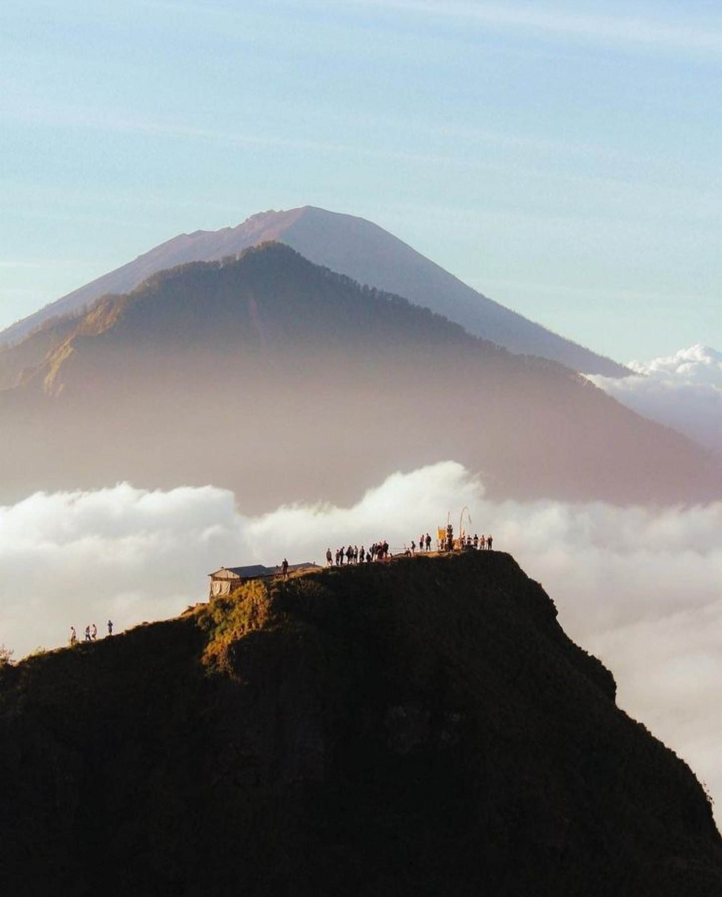
Mount Batur, 1,717 meters. The standard route is about 3 kilometers each way with roughly 500 to 700 meters of climbing, the last part on loose volcanic gravel. Most people take two hours up and start walking around 4am to be on the rim for first light. A local guide is expected in practice. Our full guide asks whether the Batur sunrise hike is worth it.
Munduk and the twin lakes. The highlands around Munduk have the best forest hiking in Bali. Trails link village roads, clove and coffee plantations and the ridges above Lake Buyan and Lake Tamblingan, with temples on the lakeshore. A popular half-day route walks through the forest down to Lake Tamblingan, often with a short canoe trip across the water. Hire a local guide from Munduk or Tamblingan; they know which paths are open and which are muddy. Pair it with the Munduk waterfalls.
Sekumpul waterfall trail. In north Bali, the walk down to Sekumpul involves a few hundred steps, river crossings and a steep climb back out. Going down requires a local guide, with packages from around IDR 125,000 to 250,000 depending on the route. See our ranking of the best waterfalls in Bali for nearby falls.
Hard: full-day summits
Mount Abang, 2,151 meters. The highest point of the Batur caldera rim and the third-highest mountain in Bali. The usual route from Suder village is about 7 kilometers with roughly 800 meters of climbing through forest, steep in places, with views over Lake Batur and to Mount Agung from the top on a clear day. It is much quieter than Batur, though it can be busier at weekends. Go with a local guide; private sunrise tours with transfers from the south are listed at around IDR 1.1 million, and the round trip takes about 4 to 5 hours on foot.
Mount Batukaru, 2,276 meters. Bali's second-highest mountain rises above the rice terraces of Tabanan and is covered in thick, misty forest. The shortest route, from Pura Malen on the northwest side, is about 6 kilometers with over 1,100 meters of climbing, and one hiking guide calls it relentlessly steep with very few views. This is a hike for the forest and the solitude rather than the panorama. Another route starts near Jatiluwih. Take a guide; trails are poorly marked, and the mountain is sacred to the temple of Pura Luhur Batukaru on its lower slopes.
Mount Agung, 3,142 meters. The big one. Routes from Pura Pasar Agung or Besakih Temple start around midnight to 2am and take most people around 3.5 to 5 hours up from Pasar Agung, or 6 to 8 hours from Besakih, with a long, punishing descent. A licensed guide is mandatory under a 2025 provincial circular, and the mountain closes during major ceremonies. Read our guide to Mount Agung, Bali's holy volcano before you book.
West Bali National Park treks
West Bali National Park covers the far northwest of the island, with monsoon forest, savanna and mangroves. Trekking is only allowed with a licensed park guide, arranged at the park offices in Cekik or Labuan Lalang, which open from around 8am to 3pm. Recent 2025 figures put park entry for foreigners at around IDR 200,000 on weekdays and IDR 300,000 at weekends, with guide fees on top depending on the route. Short treks of two to three hours walk through forest where you may see deer, monkeys, monitor lizards and birds, including the critically endangered Bali starling. Book the day before so you can start early, ideally from around 6am. Base yourself in Pemuteran and combine it with snorkeling at Menjangan Island.
Practical tips for hiking in Bali
- Guides: Required for Agung, West Bali National Park and the Sekumpul canyon, and strongly recommended on any volcano. They also handle the small offerings made at the start of sacred trails.
- Respect: Volcanoes are sacred in Balinese Hinduism. Do not climb during ceremonies, take no beef on the mountain and behave respectfully at summit shrines. Read our Bali rules for tourists.
- Clothing: Trail shoes with grip, a warm layer and a rain jacket for summits; dawn on the high summits is cold and windy.
- Water and light: At least 1.5 liters per person and a headlamp for any pre-dawn start.
- Heat: On lowland walks like Campuhan, start early. By 10am the humidity makes everything harder.
For more ideas, see our guide to the best things to do in Bali.
Frequently asked
What is the best hike in Bali?
For most visitors, the sunrise hike up Mount Batur, which takes about two hours and is moderately challenging. For experienced hikers, Mount Agung is the toughest and most rewarding climb.
What is the easiest hike in Bali?
The Campuhan Ridge Walk in Ubud. It is free, paved, about 2 kilometers one way to Karsa Kafe and takes 20 to 30 minutes each way.
Do you need a guide to hike in Bali?
A licensed guide is mandatory on Mount Agung and in West Bali National Park, and in practice expected on Mount Batur. Guides are strongly recommended on all other volcanoes.
When is the best time to hike in Bali?
The dry season from about April to October, when trails are drier and summit views are clearer. Start early in the day to avoid heat and afternoon clouds.

BALI 2026
The complete island guide: regions, temples, beaches, getting around, what to avoid and how to plan the perfect trip.

Mount Agung
Bali's highest and holiest volcano: the climbs, the temples on its slopes and how to plan the trek.