The short answer
Bali sits on the Pacific Ring of Fire, so volcanoes and earthquakes are part of island life, but the risk to an ordinary visitor is low. Mount Agung and Mount Batur are both active, and both are closely monitored around the clock by Indonesia's volcanology agency. When they stir, the authorities raise alert levels and set exclusion zones well before most danger reaches tourist areas. The real-world impact on travelers has almost always been the same thing: flight disruption from volcanic ash, not lava or explosions.
Tsunamis are rarer still, but the deep ocean trench south of the island means the risk is real, and learning the warning signs takes five minutes. Here is what is worth knowing before you go.
Mount Agung and Mount Batur today
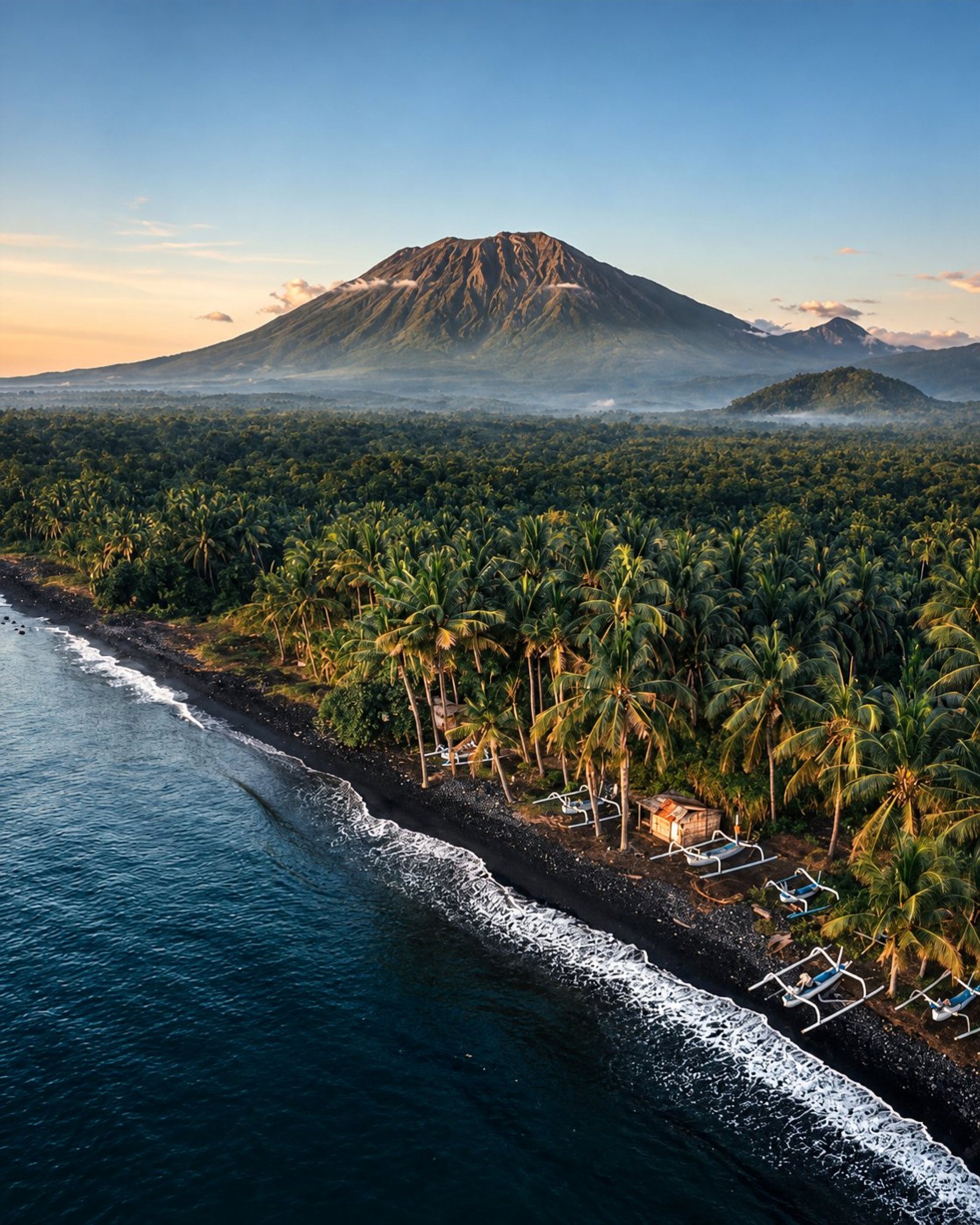
Mount Agung (3,142 m) is Bali's highest and holiest mountain, and the island's most dangerous volcano. Its 1963 eruption killed around 1,900 people. After more than 50 quiet years, it rumbled back to life in September 2017, when the alert was raised to the highest level and about 122,500 people were evacuated from the surrounding villages. Eruptions continued on and off until mid-2019, with ash columns visible from Sanur and Amed. Since then it has been calm, and climbers once again make the pre-dawn ascent from Pura Pasar Agung and Besakih.
Mount Batur (1,717 m), in the Kintamani caldera, is more restless but far less violent. Its last eruptions were small ones in 1999 and 2000, and the black lava fields from 1963 still spill down toward Lake Batur. Thousands of visitors climb it for sunrise every week. Both mountains can close to hikers at short notice when activity rises, so always check before you book a trek. Read our guides to Mount Agung and the Mount Batur sunrise hike.
How eruptions affect flights
Volcanic ash is a serious hazard to jet engines, so airlines and air-traffic controllers act cautiously. When ash drifts toward Bali, flights are delayed or cancelled, and in severe cases I Gusti Ngurah Rai International Airport closes.
- November 2017: Agung's ash closed Bali's airport from November 27 to 29. More than 450 flights were cancelled and about 75,000 passengers were affected.
- June 2018: A smaller Agung eruption led to another, shorter closure.
- November 2024: Mount Lewotobi Laki-laki, on Flores, several hundred kilometers to the east, sent ash high into the sky. Jetstar and Virgin Australia cancelled all their Bali flights for several days, even though Bali's airport stayed open.
- June and July 2025: Lewotobi erupted again. On June 18, 87 flights at Bali's airport were cancelled, and on July 7 another 24, while the airport itself remained operational.
The pattern is worth noting: the most recent disruptions came from a volcano on another island, and Australian low-cost carriers tend to cancel first. If your flight is cancelled, the airline is responsible for rebooking or refunding, and most travel insurance covers extra nights when the policy was bought before the eruption made headlines.
How to check volcano status
The official source is MAGMA Indonesia (magma.esdm.go.id), run by the Center for Volcanology and Geological Hazard Mitigation. It also has an app. Each volcano carries one of four levels:
- Level I, Normal: no increased activity.
- Level II, Waspada (Advisory): increased activity; usually a small exclusion zone around the crater.
- Level III, Siaga (Watch): an eruption is possible; larger exclusion zone.
- Level IV, Awas (Warning): eruption imminent or under way; evacuations.
Tourist areas in the south, such as Seminyak, Canggu, Uluwatu and Ubud, lie far outside any normal exclusion zone. For flights, check your airline's app and the airport's announcements, and keep the notification settings on.
Tsunami risk on Bali's coast
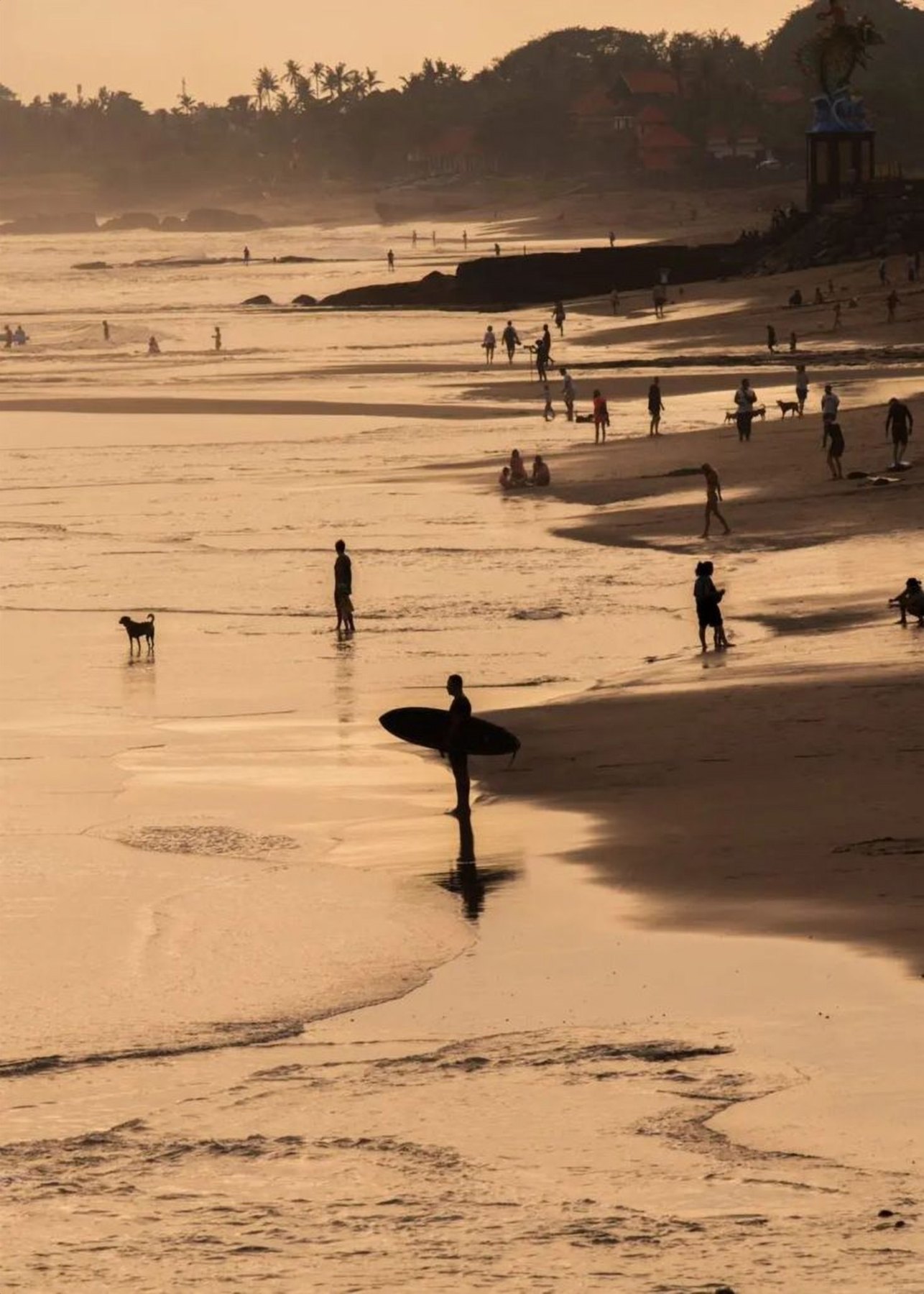
The Java Trench, south of Bali, is where the Indo-Australian plate slides beneath the Eurasian plate. A large earthquake here could generate a tsunami that reaches the south coast with very little warning time, which is why the natural signs below matter as much as any siren. The most exposed areas are low and flat: Kuta, Legian, Seminyak, Jimbaran, Sanur, Tanjung Benoa and parts of Nusa Dua.
Indonesia's meteorology and geophysics agency BMKG runs the Indonesia Tsunami Early Warning System (InaTEWS) and sends alerts through its Info BMKG app, its website inatews.bmkg.go.id and social media. Sirens are installed along Bali's southern beaches. Download the app before you arrive.
Natural warning signs
Do not wait for an official warning if you notice any of these:
- A strong earthquake that makes it hard to stand, or one that lasts longer than about 20 seconds.
- The sea suddenly pulling back, exposing reef or sand far beyond normal low tide.
- A loud roar from the ocean, like a jet engine or freight train.
If you experience any of them on or near the beach, move immediately to high ground or inland, on foot. Roads will jam within minutes.
Evacuation in Kuta, Sanur and Nusa Dua
Look for blue and white Jalur Evakuasi (evacuation route) signs, which point away from the beach. Ask your hotel about its tsunami plan on check-in; many large beachfront resorts take part in drills.
- Kuta, Legian and Seminyak: the land is flat for kilometers. Head inland, away from the beach, or climb to the upper floors of a solid, multistory concrete building if you cannot get far enough.
- Sanur: move west, away from the beach road. In a May 2025 drill at The Sanur special economic zone, people walked to a temporary evacuation site at Bali International Hospital in about 5 to 11 minutes.
- Nusa Dua and Tanjung Benoa: Tanjung Benoa is a narrow, low peninsula with one main road, so vertical evacuation in a tall, reinforced building is often the best option. From Nusa Dua, the rising limestone uplands of the Bukit peninsula to the south and west offer higher ground.
- Jimbaran: walk uphill, away from the bay, toward the road to Uluwatu.
The bottom line
Natural hazards in Bali are real but manageable. Buy travel insurance that covers natural disasters and flight disruption, check MAGMA before volcano treks, download the Info BMKG app, and take a minute to learn your hotel's evacuation route. Then enjoy the volcanoes for what they are: the reason Bali is so fertile, so dramatic and so sacred.
Frequently asked
Is Mount Agung going to erupt?
Nobody can predict exact timing, but Mount Agung is monitored around the clock. Check its current alert level on MAGMA Indonesia (magma.esdm.go.id) before you travel or trek.
Do volcanic eruptions close Bali airport?
Sometimes. Mount Agung's ash closed the airport from November 27 to 29, 2017. More often, airlines cancel flights while the airport stays open, as happened during the Lewotobi eruptions in 2024 and 2025.
Is there a tsunami risk in Bali?
Yes, a low but real one, mainly on the low south coast around Kuta, Sanur and Nusa Dua. If you feel a strong or long earthquake near the beach, or see the sea pull back, move inland or to high ground immediately.
How do I get tsunami warnings in Bali?
Download BMKG's Info BMKG app, which sends earthquake and tsunami alerts, and listen for sirens along the southern beaches.

Mount Agung
Bali's highest and holiest volcano: the climbs, the temples on its slopes and how to plan the trek.

BALI 2026
The complete island guide: regions, temples, beaches, getting around, what to avoid and how to plan the perfect trip.
Sources
- Mount Lewotobi eruption disrupts 87 flights at Bali airport in single day (Indonesian National Police)
- Lewotobi eruption: 24 flights cancelled at Bali Airport (Antara)
- Airlines cancel Bali flights after volcano spews ash miles into the sky (Al Jazeera)
- 2017 to 2019 eruptions of Mount Agung (Wikipedia)
- Simulasi gempa bumi dan tsunami digelar di kawasan The Sanur, Denpasar (BMKG)
- Edukasi gempa bumi dan tsunami (BMKG)